About DataViewer
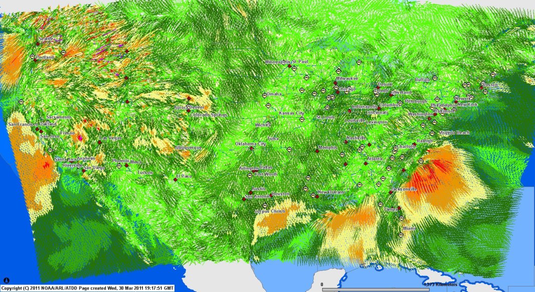
Welcome to NOAA/ATDD's primary source for archived and real-time data from a variety of meteorological networks. NOAA/ATDD operates the DCNET and RAMAN series of meteorological networks in Washington DC, New York City, and the East Tennessee valley, including Knoxville and Oak Ridge. Additional data sets for ASOS/AWOS, NOAA's FSL/MADIS, NOAA's RSAS, and NOAA's RTMA data are also available in real-time from the DataViewer server.
Data are available from both an ArcIMS server using a thin-client (HTML) web browser and Google Earth. In order to use the Google Earth data display, some form of the Google Earth client is required. Also keep in mind that the Google Earth data displays are experimental, so please send feedback if you encounter problems.
What's New?
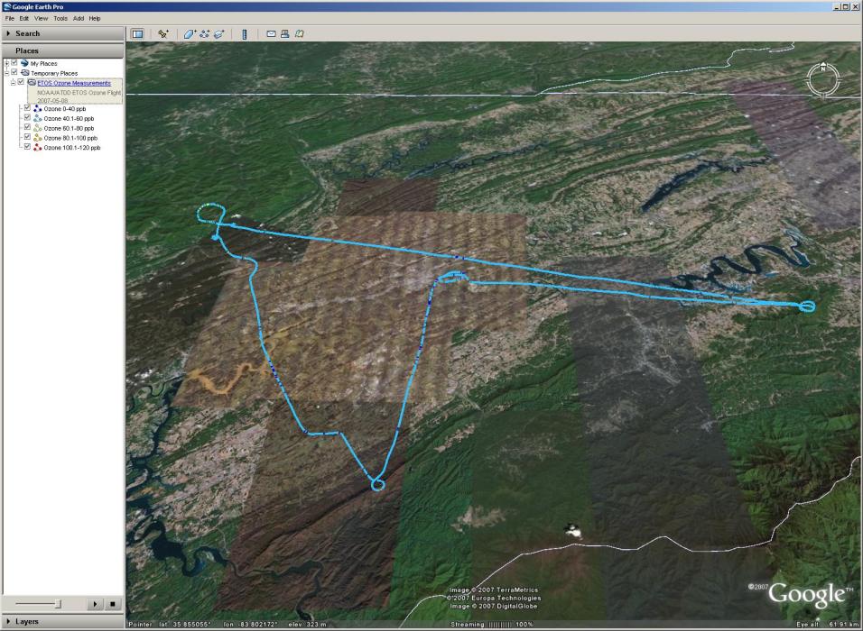
In addition to the Google Earth offerings, check out the new real-time ozone concentration measurement device, the "Hitchhiker." Used to measure in-situ real-time ozone concentrations while simultaneously recording GPS position and altitude, the "Hitchhiker" can be quickly installed in a car, aircraft, or other vehicle to make ozone measurements in a simple, robust way. Using a CDMA modem to relay data back to servers at ATDD, data can be displayed using either ArcIMS or Google Earth and can be updated in as little as 10 seconds. Also, we've added the NOAA RTMA (Real-Time Mesoscale Analysis) data. Real-time comparison data between the RAMAN network and RTMA in East Tennessee will be coming soon!